

Tour details
Total length:
18 km
Duration:
1 hr 20 min
Trail conditions:
Bike paths, roads, side streets
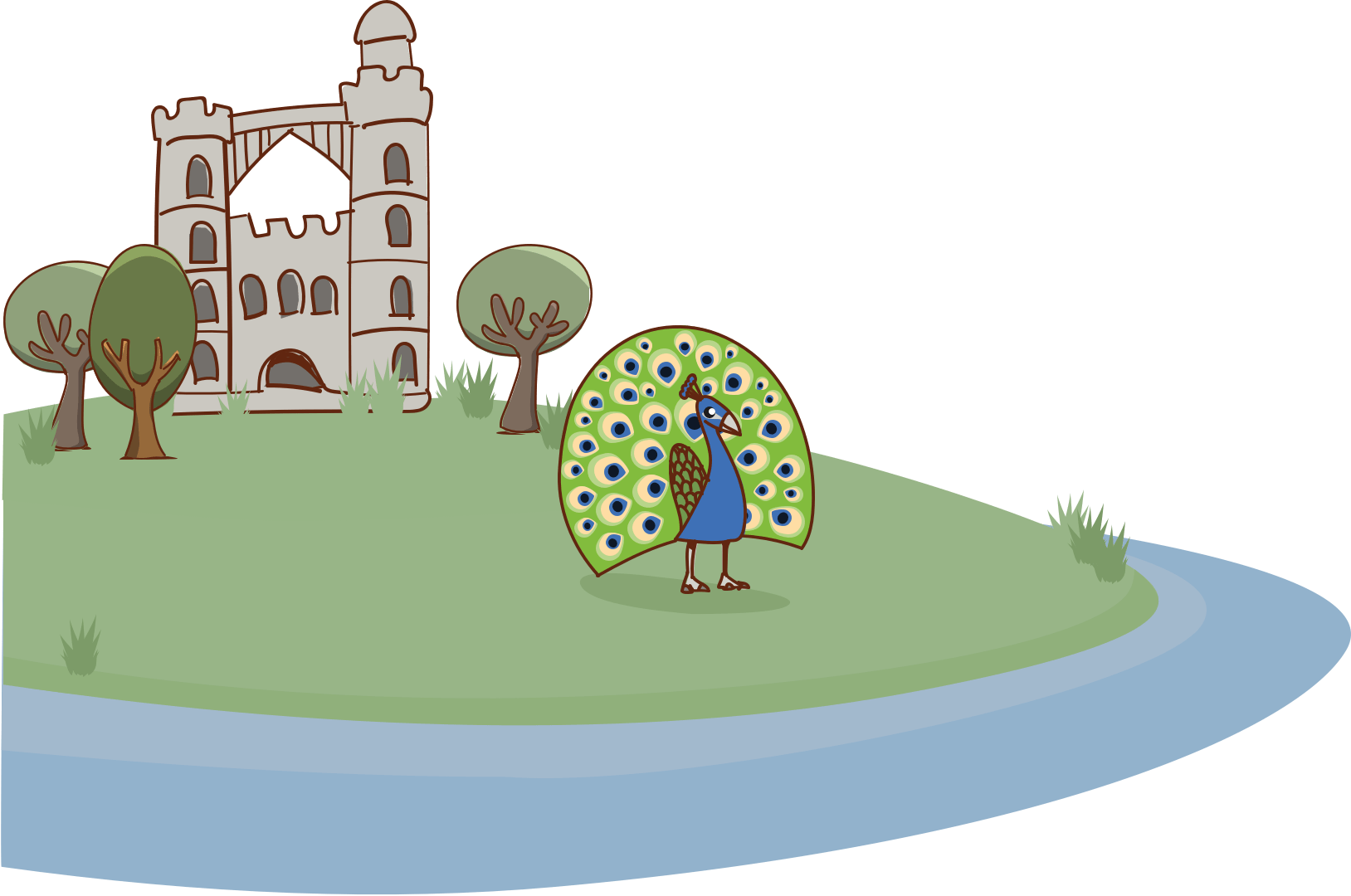
Highlights:
11 musuems, architecture, nature and neighbourhood life
Start/ end points:
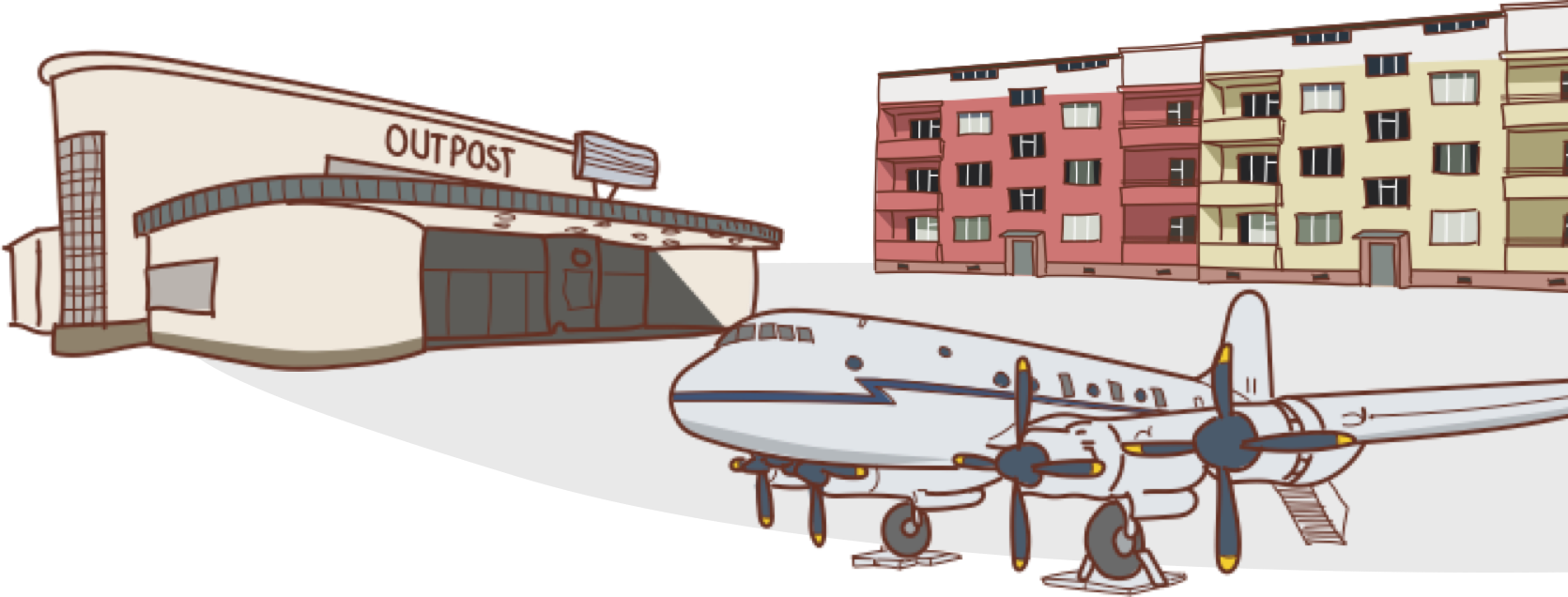
The route can begin and end at two stations for the S-Bahn Line 1 and five stations for the U-Bahn Line 3. Starting the loop at the U-Bahn station “Onkel Toms Hütte” is recommended.
Route planning and navigation with Komoot:
Klicken Sie auf den unteren Button, um den Inhalt von www.komoot.de zu laden.


Tour details
Total length:
19 km
Duration:
1 hr 30 min
Trail conditions:
Bike paths, roads, forest trails
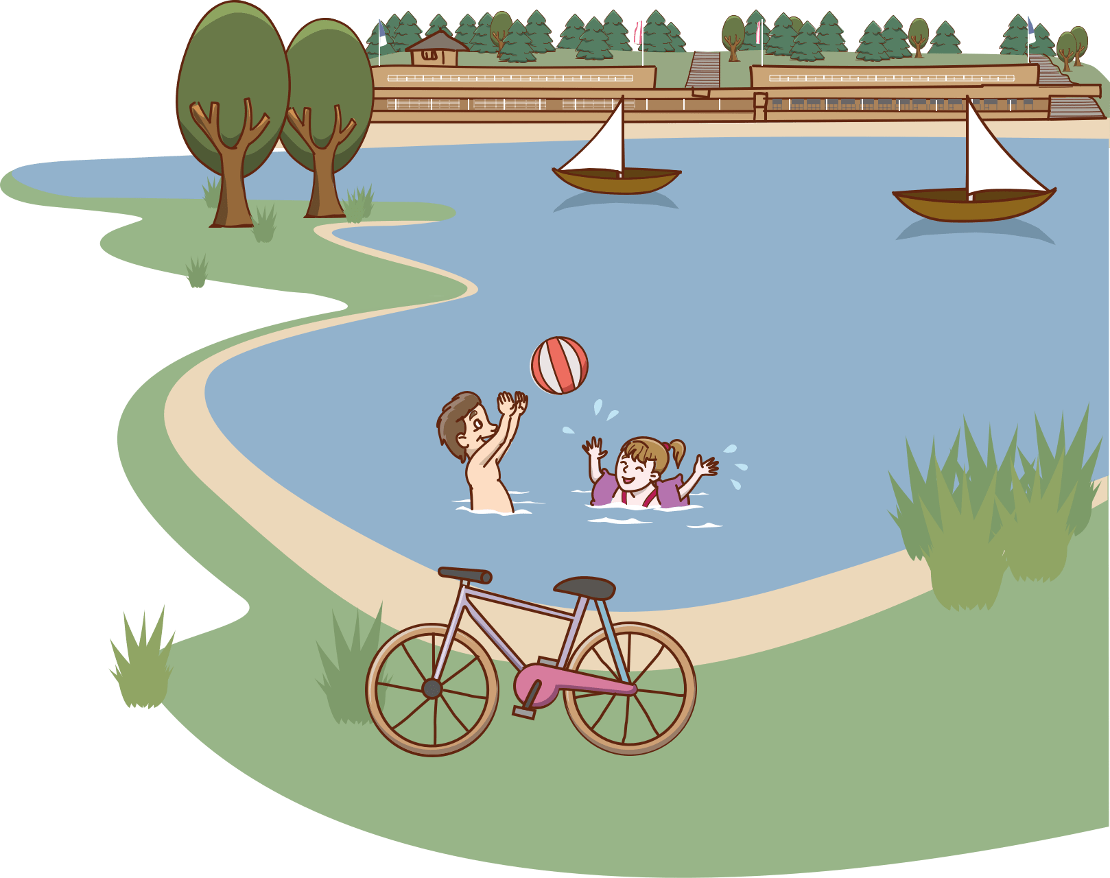
Highlights:
Wannsee lake, Schwanenwerder, Großes Fenster bathing area, Museumdorf Düppel, Königsweg
Start/end points:
The route can begin at three S-Bahn Line 1 and two S-Bahn Line 7 stations. It is recommended that you start at Wannsee Station.
Route description
Route planning and navigation with Komoot:
Klicken Sie auf den unteren Button, um den Inhalt von www.komoot.de zu laden.
Tour details
Total length:
19 km
Duration:
1 hr 30 min
Trail conditions:
Bike paths, roads, forest trails
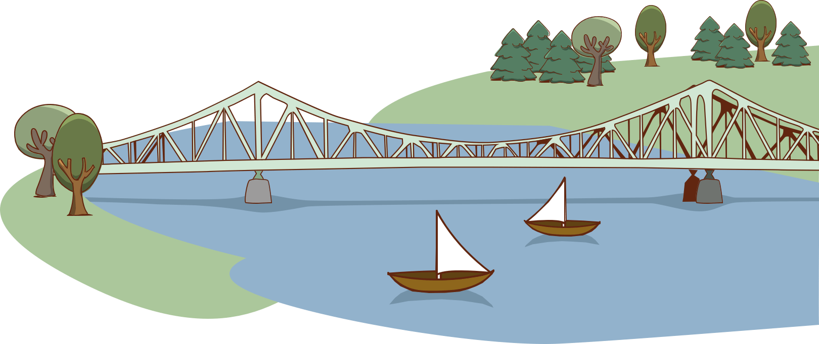
Highlights:
UNESCO World Heritage Site with Glienicke Palace and Park, Babelsberg Palace and Park, Glienicker Bridge, Pfaueninsel, House of the Wannsee Conference, Liebermann Villa
Start/end points:
S-Bahn station “Griebnitzsee” is the recommended starting point.
Bike rental:
Pedales-Bike @ Paddelstation
Rudolf-Breitscheid-Str. 201
14482 Potsdam
Telephone: 0331-7480057
www.potsdam-per-pedales.de
mail@pedales.de
Route description
Route planning and navigation with Komoot:
Klicken Sie auf den unteren Button, um den Inhalt von www.komoot.de zu laden.
Tour details
Total length:
16 km
Duration:
1 hr 20 min
Trail conditions:
Bike paths, roads, side streets
Highlights:
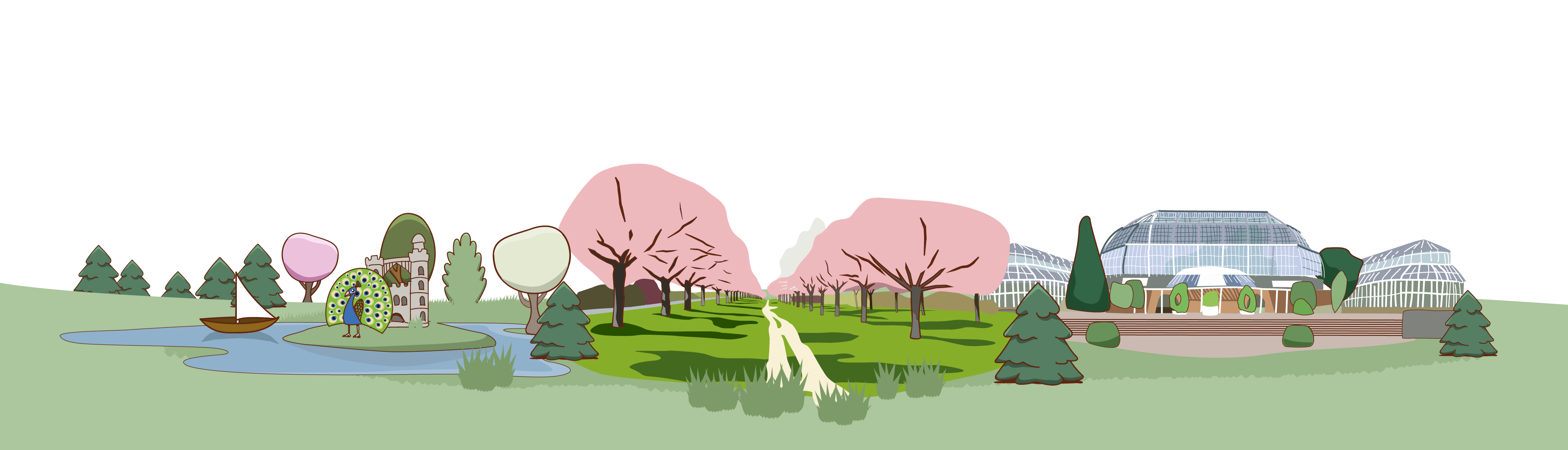
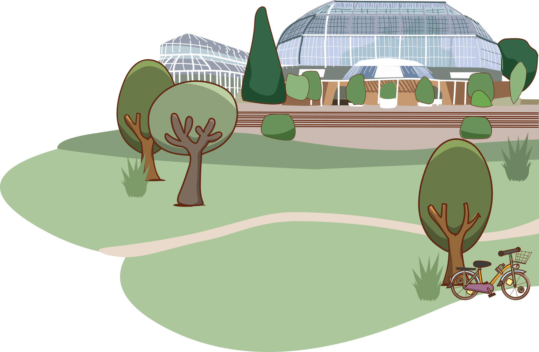
Kulturhaus Schwartzsche Villa, Schlosspark Theater, Villenkolonie Lichterfelde, Botanic Garden, Bierpinsel, Museum Europäischer Kulturen
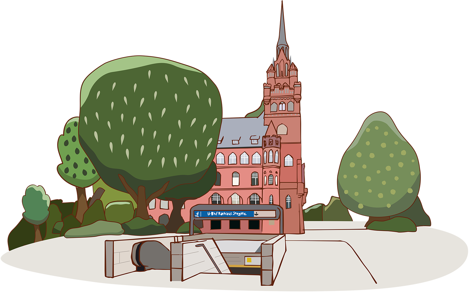
Start/end points:
It is recommended that you start at “Rathaus Steglitz” Station, as the S-Bahn Line 1 and U-Bahn Line 9 stop here.
Route description
Route planning and navigation with Komoot:
Klicken Sie auf den unteren Button, um den Inhalt von www.komoot.de zu laden.